How to Research a Neighborhood Before You Move: A Data Checklist
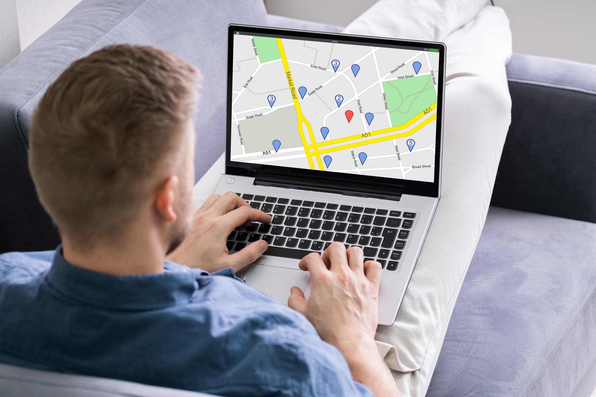
Most people research a neighborhood the same way: they look at photos online, drive through once on a Sunday afternoon, maybe ask a friend who moved there two years ago. Then they sign a lease or make an offer and hope for the best.
That approach works out fine sometimes. Other times, people discover six months in that the sales tax in their new city adds up to real money every month, or that the climate zone they moved into means winters are two full hardiness zones colder than what they left behind, or that the median household income in their ZIP code has been declining for years — a signal they would have caught if they had looked.
The data to make a genuinely informed decision exists, and most of it is free. Every ZIP code page at ZipCodePlus.com surfaces the six most decision-relevant data points in a single view: location, demographics, housing, taxes, climate, and growing zone. This article walks through each one, explains what it actually tells you, and shows how to use it alongside the additional research that turns data into a confident relocation decision.
Use this as a checklist. Go through it for every ZIP code you are seriously considering before you sign anything.
Step 1: Start With the Location Card
The location card on every ZipCodePlus page shows the city, county, state, latitude, longitude, and timezone. These look like basic facts, but each one carries research implications.
County matters more than city. In most of the United States, county governments administer property tax assessments, school district boundaries, court systems, and many public services. Two ZIP codes in the same metropolitan area can sit in different counties with meaningfully different tax rates, school quality, and public safety resources. When you look up a ZIP code, note the county and search it separately.
Latitude and longitude tell you the climate story before you read the climate card. A ZIP code at 47 degrees north latitude (Minneapolis) experiences winter differently than one at 30 degrees north (Houston). You do not need to calculate sun angles — but knowing whether you are in the northern or southern half of the country contextualizes everything that follows.
Timezone is a practical relocation factor. Remote workers collaborating with teams in different time zones, or families with relatives across the country, are affected by timezone placement in ways that matter for daily scheduling.
What to do: Look up your target ZIP code and your current ZIP code side by side. Compare their counties. If they are in different states, research whether the destination state has income tax — something ZipCodePlus does not display, but that a quick search will confirm. For a deeper look at how taxes vary across states, see States With No Income Tax in 2026 and How Sales Tax Affects Your Cost of Living.
Step 2: Read the Demographics Card
The demographics card shows two numbers: population and median household income. Do not underestimate either one.
What Population Tells You
Population at the ZIP code level tells you the density of the area — whether you are looking at a dense urban neighborhood, a mid-density suburb, or a rural community. High-population ZIPs tend to mean more competition for housing, more walkable amenities, and shorter commutes to downtown. Low-population ZIPs often mean more space, quieter streets, and more dependence on a car.
Population alone is less interesting than population trend. A ZIP code with a growing population signals demand — for housing, for services, for local business. A ZIP code with a declining population may signal economic stress, job loss, or infrastructure challenges. ZipCodePlus does not show trend data, but the Census Bureau’s American Community Survey does — and it is searchable by ZIP code at no cost.
What Median Household Income Really Tells You
Median household income is one of the most information-dense numbers in neighborhood research. It is not just a proxy for “is this a wealthy area.” It reveals:
Purchasing power and neighborhood stability. Income and property upkeep correlate strongly. Higher-income neighborhoods tend to have better-maintained housing stock, more active community organizations, and lower vacancy rates — all factors that affect your daily experience as a resident.
School district quality. This is the connection most people miss. The National Association of Realtors found that homes in high-performing suburban school districts are priced 49% higher than the national median and 77% more expensive than homes in lower-ranked districts.1 The income level of a neighborhood and the quality of its schools are not perfectly correlated — but they are closely linked, because school funding in most states flows substantially from local property taxes. A neighborhood with a $95,000 median household income tends to support better-funded schools than one at $42,000, all else equal.
Your neighbors’ financial resilience. A neighborhood where most households earn well above their cost of living is more resistant to foreclosure cycles, vacancy spikes, and declining property values during economic downturns. A neighborhood where most households are stretched thin is more vulnerable.
What to do: Compare the median household income in your target ZIP to the national median household income (approximately $78,000 as of recent Census data). A ZIP significantly above the national median is generally a sign of a stable, in-demand area. A ZIP significantly below warrants deeper investigation — not necessarily a dealbreaker, but a prompt to look at crime data, school ratings, and housing vacancy rates before committing.
For context on how income varies across states and ZIP codes, see Median Household Income by ZIP Code 2026 and What Is a Good Salary by State in 2026.
Step 3: Analyze the Housing Card
The housing card shows median home value and median rent. Together, these two numbers tell you whether it makes more financial sense to buy or rent in a given ZIP code — and whether the market is priced sustainably relative to local income.
Median Home Value
The median home value gives you the anchor price for the neighborhood. Compare it against:
- The national median (currently around $430,000). Is this ZIP above, below, or near national norms?
- The city and metro median. Is this specific ZIP more or less affordable than the broader area?
- Your buying budget. The standard guidance is to keep housing at no more than 28-30% of gross monthly income. Divide the median home value by 200 to get a rough monthly payment at current rates — if that number exceeds 30% of your household income, you are in a stretch market for this ZIP.
A rising median home value is generally a positive signal for buyers who are already in the market — it means their equity is growing. For buyers trying to enter, it means urgency or compromise. For renters, it is a useful signal about whether the area is appreciating or stagnant.
Median Rent
Median rent tells you the going rate for a typical unit in this ZIP code. More importantly, compare it to the median household income. Divide the annual median rent (monthly rent multiplied by 12) by the annual median household income. If that number exceeds 30%, the typical household in this ZIP is rent-burdened — meaning most people there are paying more than the standard affordability threshold for shelter.
Rent-burdened ZIP codes are not places to avoid — many desirable urban neighborhoods are rent-burdened because demand outstrips supply. But it is a useful data point. It tells you that if you are earning at or below the median income for that area, housing will be a strain.
What to do: For every ZIP code you are seriously considering, run the rent-to-income ratio. Use it alongside the median home value to determine whether buying or renting pencils out better for your situation. For more detail on this decision, see Rent vs. Buy in 2026 and Most Affordable Cities to Buy a Home in 2026. For state-level rent data, see Average Rent by State 2026.
Step 4: Check the Taxes Card
The taxes card shows the state sales tax rate, local sales tax rate, and combined rate for each ZIP code. Most people scroll past this. That is a mistake.
Why Sales Tax Matters More Than People Realize
Sales tax is the one tax that follows you every time you buy groceries, clothing, household goods, electronics, and most tangible products. Unlike income tax, it applies regardless of whether you own or rent, and it compounds across every purchase you make throughout the year.
The range across the United States is substantial. New Hampshire has no sales tax. Oregon, Montana, Delaware, and most of Alaska have none either. At the other end, ZIP codes in parts of Illinois, Tennessee, Louisiana, and Arkansas carry combined rates above 10%.
On a $50,000 annual household spending budget (a reasonable estimate for a mid-income family after housing), the difference between a 0% combined sales tax rate and a 10% rate is $5,000 per year — every year you live there. That is not a trivial number.
What the Local Rate Adds
City and county governments layer additional sales taxes on top of the state base rate. The combined rate shown on each ZipCodePlus page includes both layers, which is the number that actually applies at the register. Two ZIP codes in the same state can have combined rates that differ by two or three percentage points depending on their specific municipality.
What to do: Before finalizing your shortlist of neighborhoods, look up the combined sales tax rate for each target ZIP and compare them. If you are deciding between two otherwise similar areas in different states or municipalities, the tax card can tip the scale. For a full breakdown of how these rates vary nationally, see Sales Tax Rates by State 2026.
Step 5: Use the Climate and Growing Card
The climate and growing card shows the Koppen climate zone code, the USDA Plant Hardiness Zone, and the timezone. Of all the data on the ZIP page, this is the one most people underweight during their research.
Climate affects your daily life, your utility bills, your outdoor time, your home maintenance demands, and increasingly your insurance costs. Moving from ZIP code 33139 in Miami (Aw — tropical) to ZIP code 60601 in Chicago (Dfa — continental, cold winters, hot summers) is not just a lifestyle shift. It is a change in how you dress for six months, what your heating bill looks like, and what your yard can support.
Reading the Koppen Code
The first letter of the Koppen code tells you the most:
| First Letter | Climate Type | What It Means to Live There |
|---|---|---|
| A | Tropical | No real winter; high humidity year-round |
| B | Arid | Dry; either desert or steppe conditions |
| C | Temperate | Mild winters; four seasons but no severe cold |
| D | Continental | Significant winter; wide temperature swings |
| E | Polar / Alpine | Severe cold; rare at livable elevations |
If the first letter of your origin ZIP and your destination ZIP are different, expect a genuine lifestyle adjustment. If they match, you are moving between variations on a theme.
Reading the USDA Zone
The USDA Plant Hardiness Zone measures the average coldest temperature of the year over 30 years. It runs from Zone 1 (extreme cold, parts of Alaska) to Zone 13 (tropical, Hawaii and extreme South Florida). Zone 5 (average minimum -20 to -10 degrees F) is a very different winter than Zone 9 (20 to 30 degrees F).
For non-gardeners, the USDA zone is still useful: it tells you how much winter you are actually buying. Zone 4 ZIP codes in northern Minnesota or Maine have average extreme minimum temperatures that can hit -30 degrees F. Zone 8 ZIP codes in Washington state or Texas rarely drop below 10 degrees F. That gap affects your heating costs, your car maintenance, your outdoor lifestyle, and your winter utility bills.
What to do: Look up the Koppen code and USDA zone for both your current ZIP and your target ZIP. Compare the first letters and zone numbers. If you are crossing two or more USDA zones, research the practical implications — not just temperature, but insurance costs in the new climate, typical utility bill ranges, and seasonal risk profile. For a full guide, see How to Use Climate Data When Choosing Where to Live, Climate Zones in the United States Explained, and Understanding USDA Plant Hardiness Zones.
Step 6: Go Beyond the ZIP Page
ZipCodePlus gives you the data foundation. A thorough neighborhood research process layers in several additional sources.
Crime Data
Crime statistics are not on the ZipCodePlus page and should be researched separately. City-level police department websites often publish incident maps by neighborhood. NeighborhoodScout, SpotCrime, and CrimeGrade.org provide searchable crime data at the neighborhood level. Look at both violent crime rates and property crime rates — they do not always move together, and each matters differently depending on your lifestyle and whether you have children.
School Ratings
Even if you do not have children, school quality is a housing investment factor. The NAR’s research found that for every dollar invested in public schools in a community, home values in that community increased by roughly $20.2 GreatSchools.org provides school ratings by ZIP code. State department of education websites publish individual school report cards. Search the specific elementary school district boundary for your target address — not just the broader district.
Commute and Transportation
Google Maps commute time estimates are a starting point, but run them at the actual time of day you will be commuting, not during off-peak hours. Transit Score (available through Walk Score) rates neighborhoods by public transit access. If you will rely on a car, check traffic patterns on the specific routes you would use.
Future Development
What is planned near this neighborhood in the next five to ten years? A quick search for the city’s zoning map and any pending development applications can reveal whether a quiet block is adjacent to an approved apartment complex, a planned highway interchange, or a rezoned commercial corridor. City planning department websites publish this information, though it takes some digging.
The Walk-Through
No amount of online research replaces a physical visit. Go on a weekday and a weekend. Go in the morning and the evening. Walk the blocks adjacent to any property you are seriously considering. Talk to one or two people who live nearby — not the landlord or the listing agent. Ask them what they wish they had known before moving there.
The Master Checklist
Use this table to track your research across ZIP codes you are comparing. You can also download the full checklist as a printable PDF — it includes the data card reference table and the persona priority guide on a single page you can keep open while you research.
| Research Item | Where to Find It | Done? |
|---|---|---|
| Location, county, state, timezone | ZipCodePlus location card | |
| Median household income | ZipCodePlus demographics card | |
| Income vs. national median ($78K) | ZipCodePlus + Census.gov | |
| Median home value | ZipCodePlus housing card | |
| Median rent | ZipCodePlus housing card | |
| Rent-to-income ratio (should be under 30%) | ZipCodePlus data | |
| Combined sales tax rate | ZipCodePlus taxes card | |
| Koppen climate zone code | ZipCodePlus climate card | |
| USDA Plant Hardiness Zone | ZipCodePlus climate card | |
| State income tax status | Search + states-with-no-income-tax article | |
| Crime data (violent + property) | NeighborhoodScout, CrimeGrade.org | |
| School ratings | GreatSchools.org, state dept. of ed | |
| Commute time (at peak hours) | Google Maps, real-time | |
| Future development / zoning | City planning department website | |
| Physical visit (weekday + weekend) | In person |
Tailoring the Checklist to Your Situation
Not every data point carries equal weight for every buyer or renter. Here is how to prioritize:
Families with school-age children: Weight the demographics card (income as school proxy) and the school ratings step most heavily. Also research the specific school attendance boundaries, not just district-wide ratings — performance can vary significantly within a single district.
Young professionals and remote workers: Weight the housing card (rent-to-income ratio), the taxes card (combined sales tax), and commute or transit access. Climate card matters if you are relocating across Koppen zones. See Best Places to Live for Young Professionals in 2026 for city-level context.
First-time buyers: Weight the housing card heavily (median home value vs. your budget) alongside the demographics card (income stability as neighborhood health signal). The rent-vs-buy analysis is particularly important. See Rent vs. Buy in 2026.
Anyone relocating across regions: The climate card becomes critical. A move from the Southeast to the Midwest, or from the Southwest to the Northeast, crosses Koppen climate zones and USDA hardiness zones in ways that affect lifestyle, utility costs, and home maintenance demands year-round. Run the full climate checklist for any cross-regional move.
Related Reading
- How to Research a ZIP Code Before You Move
- Median Household Income by ZIP Code 2026
- Rent vs. Buy in 2026
- How to Use Climate Data When Choosing Where to Live
- Sales Tax Rates by State 2026
- Cost of Living by State 2026
Sources
Page last updated: April 2026. Demographic and housing data drawn from U.S. Census Bureau American Community Survey and Redfin market data. Sales tax rates reflect 2026 state and local rates. Climate zone data sourced from NOAA and the 2023 USDA Plant Hardiness Zone Map.
Footnotes
-
National Association of Realtors / NFM Lending — ‘School Districts Impact on Home Values: What Every Buyer Should Know.’ https://nfmlending.com/financing-your-home/education/blog/school-district-home-values/ ↩
-
National Bureau of Economic Research via PublicSchoolReview.com — ‘What is the Connection Between Home Values and School Performance?’ https://www.publicschoolreview.com/blog/what-is-the-connection-between-home-values-and-school-performance ↩