What Do the Numbers in a ZIP Code Mean?
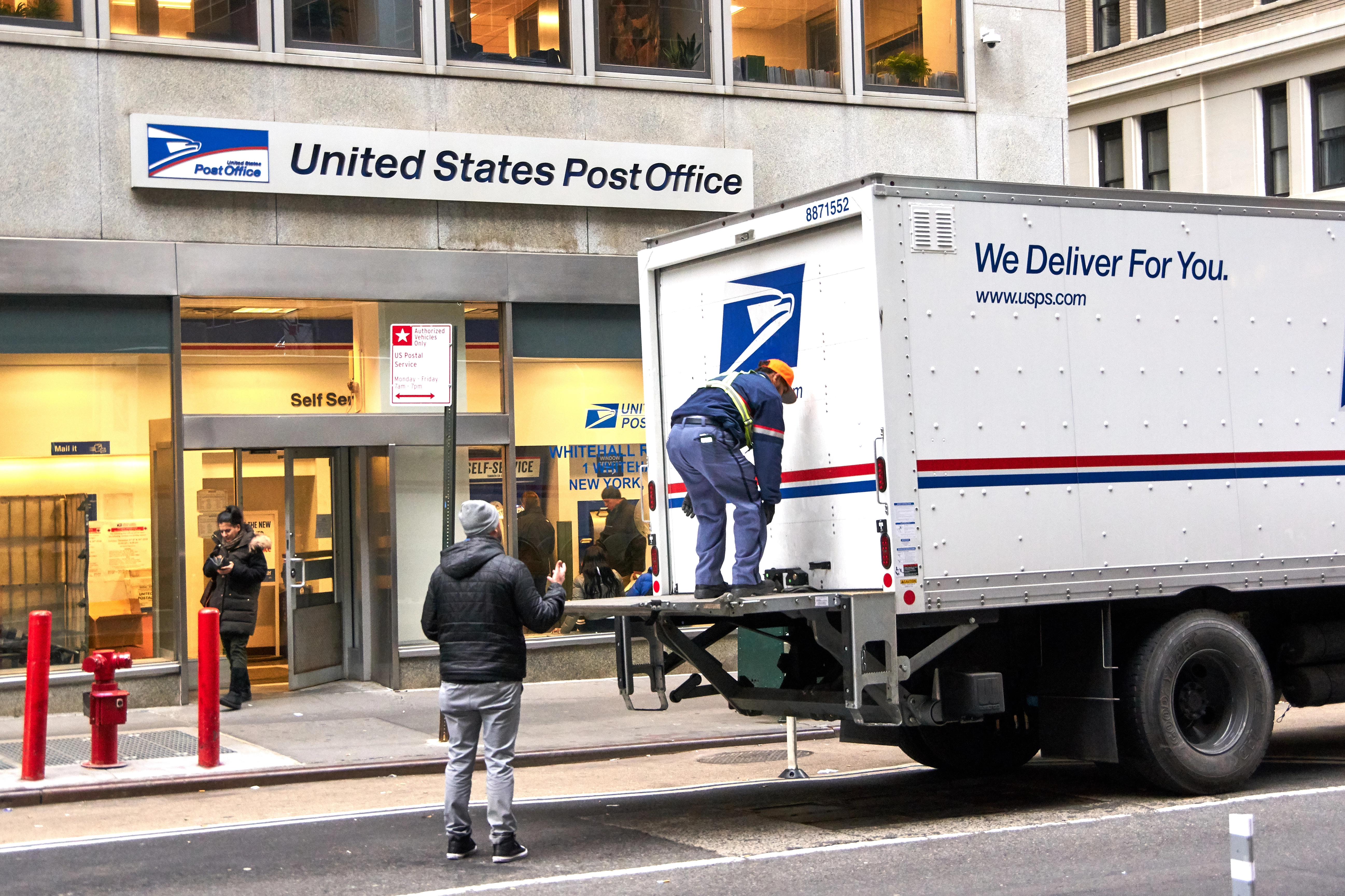
You use ZIP codes every time you order something online, fill out a form, or look up a local business. But most people have never stopped to ask what those five digits actually mean — whether they are random, whether they follow a pattern, or whether the number itself tells you anything about where a place is.
They are not random. Every digit in a ZIP code carries specific geographic meaning, and the system was engineered with a logic that still holds today — even after more than six decades of population shifts, city growth, and postal route changes.
Understanding how ZIP codes are structured also explains some of the quirks that confuse people: why a ZIP code does not always match the city name it is listed under, why some ZIP codes cover enormous rural areas while others cover a single city block, and why a ZIP code boundary on a map rarely follows a street grid the way you might expect.
Where ZIP Codes Came From
The ZIP code system was introduced by the United States Postal Service on July 1, 1963. ZIP stands for Zone Improvement Plan — a name that reflected the system’s purpose: making mail sorting faster and more efficient as the volume of American mail grew beyond what hand-sorting could handle. 1
Before ZIP codes, mail was sorted manually by workers who memorized local delivery routes. As cities grew and mail volume exploded after World War II, that system could not keep up. The USPS needed a way to mechanize sorting — and that required a standardized numeric code that machines could read and route automatically.
The original system used five digits. In 1983, the USPS introduced the ZIP+4 system, adding a hyphen and four more digits to enable even finer sorting. But the five-digit code remains the universal standard, and it is what most people mean when they say “ZIP code.”
What Each Digit Means
The five digits of a ZIP code are not arbitrary. They work from large geographic regions down to individual delivery routes, like a geographic zoom.
The First Digit — National Region
The first digit divides the country into ten large geographic regions, numbered 0 through 9, running roughly from east to west. 1
- 0 — New England and Puerto Rico (Connecticut, Massachusetts, Maine, New Hampshire, New Jersey, New York [some], Puerto Rico, Rhode Island, Vermont)
- 1 — New York, Pennsylvania, Delaware, Maryland, and parts of the Mid-Atlantic
- 2 — Virginia, West Virginia, North Carolina, South Carolina
- 3 — Georgia, Florida, Alabama, Tennessee, Mississippi
- 4 — Indiana, Michigan, Ohio, Kentucky
- 5 — Minnesota, Wisconsin, Iowa, North Dakota, South Dakota, Nebraska, Kansas
- 6 — Missouri, Illinois
- 7 — Arkansas, Louisiana, Oklahoma, Texas
- 8 — Montana, Wyoming, Colorado, New Mexico, Arizona, Nevada, Utah, Idaho
- 9 — California, Oregon, Washington, Alaska, Hawaii, Pacific territories
This east-to-west numbering was not accidental. In 1963, the majority of mail originated on the East Coast, so lower-numbered regions were assigned there to minimize routing time for the highest-volume mail flows.
The Second and Third Digits — Sectional Center Facility
The second and third digits together identify a Sectional Center Facility (SCF) — the major mail processing and distribution hub that serves a region. 2
An SCF is essentially the sorting engine for a cluster of post offices. Mail arriving at a regional hub gets sorted by these three-digit codes and routed to the correct facility. There are several hundred SCFs across the country, and each one serves a defined geographic area — sometimes an entire rural state, sometimes a portion of a dense urban area.
This is why the first three digits of ZIP codes in the same metro area tend to cluster together. ZIP codes in the 77000s belong to Houston. ZIP codes in the 30300s belong to Atlanta. The three-digit prefix is a reliable shorthand for which major metro or region you are dealing with.
The Fourth and Fifth Digits — Local Post Office or Delivery Zone
The last two digits identify the specific post office or delivery zone within the SCF area. 2
In urban areas, this might represent a single neighborhood or even a few city blocks. In rural areas, the same two digits might cover hundreds of square miles with relatively few addresses. The density of the area determines how fine-grained the zoning needs to be — dense cities need more ZIP codes per square mile, while rural counties may have one ZIP code covering the entire county and then some.
The ZIP+4 Extension
Since 1983, the USPS has offered a nine-digit ZIP code format: the standard five digits, a hyphen, and four additional digits. The added digits narrow the delivery location even further — down to a specific side of a street, a floor of a building, or even an individual P.O. box. 3
Most consumers never use the full ZIP+4 code. It matters most for bulk mailers, businesses processing high-volume correspondence, and automated mail sorting systems. If you have ever filled out a form that asked for a ZIP+4 and left it blank, the mail almost certainly still arrived — the five-digit code is sufficient for standard delivery.
The four additional digits break down as follows:
- Digits 6–7 — identify a specific delivery sector, usually a few blocks or a group of streets
- Digits 8–9 — identify a specific delivery segment, such as one side of a block, a floor of a building, or a department within a large organization
Large institutions — universities, hospitals, government agencies, corporations with heavy mail volume — sometimes have their own dedicated ZIP+4 codes or even unique five-digit ZIP codes assigned exclusively to their address.
Why ZIP Code Boundaries Look the Way They Do
ZIP codes were designed for mail delivery efficiency, not for any other purpose. This explains why their boundaries often look strange on a map.
ZIP code boundaries follow carrier delivery routes, not street grids, city limits, county lines, or neighborhood borders. A carrier route that loops through three different neighborhoods might result in a ZIP code that cuts across all three in a shape that makes no intuitive sense from a geographic standpoint.
A few specific quirks this creates:
ZIP codes that cross city or county lines. A single ZIP code can include addresses in two different cities, two different counties, or even two different states in rare cases. The boundary follows the route, not the jurisdiction. This is why ZIP code data for demographic analysis requires careful handling — you cannot assume a ZIP code aligns with any official political boundary.
ZIP codes that do not match their listed city. The USPS assigns a default city name to each ZIP code based on the primary post office that serves it. If your mail is routed through a post office in a neighboring city, your address may show that city’s name even though you live in a different municipality. This is one of the most common points of confusion for new residents. For more on this, see ZIP Code vs City: Why They Don’t Always Match.
ZIP codes with no geographic area at all. Some ZIP codes are assigned to a specific organization — a government agency, university, or large corporation — rather than a geographic zone. These are called unique ZIP codes, and they exist purely to handle high mail volume at a single address.
ZIP codes that change over time. As populations shift and postal routes are reorganized, ZIP codes can be split, merged, reassigned, or discontinued. The total number of active ZIP codes fluctuates year to year.
How Many ZIP Codes Are There?
As of 2026, there are approximately 41,700 active ZIP codes in the United States, covering all 50 states, the District of Columbia, and U.S. territories including Puerto Rico, Guam, the U.S. Virgin Islands, American Samoa, and the Northern Mariana Islands. 4
ZIP codes are not evenly distributed. Dense urban areas have many ZIP codes covering small areas. Rural states can have a small number of ZIP codes each covering enormous territory. Wyoming, for example, has fewer ZIP codes than most mid-sized American cities.
The distribution also reflects population: about half of all Americans live in ZIP codes with populations under 10,000, while a handful of high-density urban ZIP codes contain more than 100,000 residents each.
What ZIP Codes Are Used For Beyond Mail
The USPS designed ZIP codes for mail. But over the decades they have become a foundational layer of American data infrastructure, used for purposes their designers never anticipated.
Demographics and census data. The Census Bureau, federal agencies, and private researchers publish population, income, housing, and economic data at the ZIP code level. This makes ZIP codes one of the most common geographic units for local demographic analysis. You can explore this data for any ZIP code at ZipCodePlus.com.
Tax and financial data. Sales tax rates, property tax assessments, and financial services territories are frequently defined at the ZIP code level. See Sales Tax Rates by State for how this varies across the country.
Real estate and housing markets. Home price data, rental averages, and market trend reporting are commonly broken down by ZIP code because it is the finest geographic unit with widely available data.
Marketing and retail. Businesses use ZIP code data to define trade areas, target direct mail, analyze customer distribution, and make location decisions for new stores or service territories.
Climate and agricultural data. USDA Plant Hardiness Zones — which tell gardeners what plants will survive their winters — are mapped at the ZIP code level. You can look up your zone at ZipCodePlus.com or read more in USDA Plant Hardiness Zones Explained.
Looking Up Any ZIP Code
Every ZIP code in the country has its own page on ZipCodePlus, with data on population, median household income, median home value, combined sales tax rate, climate zone, and USDA plant hardiness zone.
- Search ZIP codes by state →
- Example: ZIP code 10001 — Midtown Manhattan, New York →
- Example: ZIP code 90210 — Beverly Hills, California →
- Example: ZIP code 33101 — Miami, Florida →
- Example: ZIP code 60601 — Chicago, Illinois →
Related Reading
- ZIP Code vs City: Why They Don’t Always Match
- How to Find the ZIP Code for Any Address
- How ZIP Codes Work
- How to Research a ZIP Code Before You Move
Sources
Page last updated: April 2026. ZIP code structure data from the United States Postal Service. Active ZIP code counts vary as routes are added, split, or retired.
Footnotes
-
United States Postal Service — ‘History of the ZIP Code,’ USPS Postal History. https://about.usps.com/who/profile/history/zip-code-history.htm ↩ ↩2
-
USPS Postal Bulletin — ‘Sectional Center Facility Codes and ZIP Code Structure,’ United States Postal Service. https://pe.usps.com/archive/html/dmmarchive20030810/D042.htm ↩ ↩2
-
USPS — ‘ZIP+4 Code Lookup and Explanation,’ United States Postal Service. https://tools.usps.com/zip-code-lookup.htm ↩
-
UnitedStatesZipCodes.org — ‘How Many ZIP Codes Are There?’ 2026. https://www.unitedstateszipcodes.org/zip-code-database/ ↩